-
 BJP Arunachal condemns Opposition for blocking Women’s Reservation Bill
-
Mein attends foundation laying ceremony of international meditation center &…
-
 CM Khandu attends grand finale of Arunachal Runway
-
Galo community holds candlelight march over lack of arrests in…
-
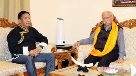 CM calls on Governor, discusses state’s dev issues
-
Teachers’ body to hold candlelight vigil for slain teacher
-
.jpg) Governor visits Border Outpost, interacts with Army troops
Governor visits Border Outpost, interacts with Army troops
-
Chief Justice, Gauhati High Court launches “APSLSA Documentaries”
-
Corps commander calls on Governor
-
Mebo MLA stresses on impactful dev & innovation approach
In quite a coincidence, India has clarified that China is not conducting any mining activity near Arunachal Pradesh. In May Hong Kong based South China Morning Post claimed in a report that Beijing has begun large-scale mining operations on its side of the border with Arunachal Pradesh where a huge trove of gold, silver and other precious minerals valued at about US 60 billion has been found.
This clarification comes on the same day as the state’s media published news report about the unusual high tides in the Siang river in parts of Mebo sub-division and other low lying areas under East Siang which has triggered alarm bells.
While there is no plausible explanation for the strange phenomenon, speculation and concern over possible activities across the international border has always been a go-to theory given China’s fixation with this mighty river.
Late last year, the otherwise crystal clear waters of the Siang river baffled many with its ‘cement-like’ appearance. The suspiciously muddy nature of the water raised concern that China might be constructing infrastructure to divert its waters as reported earlier, which it has denied.
Recent reports suggested that China is constructing a 1,000km long tunnel—the world’s longest—to divert water from the Brahmaputra river in Tibet close to Arunachal Pradesh to the parched Xinjiang region.
Subsequently, the large scale fish deaths along the river banks reported from Tuting and Geling in Upper Siang district close to the Chinese border also raised alarm about the possible use of toxic substance in the upper reaches.
Water warfare as predicted long before, is clearly on display with China having the vantage point of many of the rivers in South East Asia originating from the Tibetan plateau, using it as a political tool and as leverage on a downstream country –India.
China had denied India flood-related hydrological data since May 2017, even as major flooding hit the region from Assam to Uttar Pradesh. Data on upstream river flows is essential for flood forecasting and warning in order to save lives and reduce material losses. While China resumed data sharing in June this year, what is noteworthy is the fact that China’s action violates two bilateral MOUs which obligate it to transfer hydrological data to India from three upstream monitoring stations in Tibet every year from May 15 to October 15.
For long, China has been damming its many rivers as a way of flexing its muscles with co-riparian India with sans regard of the consequences.
The issues of downstream communities must be treated from a humanitarian perspective as in many cases this has resulted in greater frequency and severity of flooding, drought and pollution. International cooperation on shared water resources is critical and must be strengthened and adhered to at all costs.

Kenter Joya Riba
(Managing Editor)She is a graduate in Science with post graduation in Sociology from University of Pune. She has been in the media industry for nearly a decade. Before turning to print business, she has been associated with radio and television.
Email: kenterjoyaz@easternsentinel.in / editoreasternsentinel@gmail.com
Phone: 0360-2212313