-
Governor participates in World Red Cross Day celebration
-
Capital DA chalks out action plan for mining …
-
Namsai holds meeting on SMILE project
-
RGU holds workshop on ‘Nadi Vigyan’
-
Police arrest three, seize narcotics in Longding
-
Tobacco control cell carries out raid on shops near …
-
 Capital DC expresses disappointment at sluggish work on NH 415…
-
Body to carry drive against non APST enjoying ST benefits
-
Governor appeals Arunachal youth to volunteer for Indian Red Cross…
-
 Free health consultation camp held at Mer
ITANAGAR, May 19: The state level training-cum-workshop on GIS Based Gram Panchayat Planning under MGNREGA was conducted here at IT Conference Hall of the State Institute of Rural Development & Panchayati Raj from May 15-17.
The workshop was attended by about 50 identified STRTs, DTRTs and BTRTs from Papum Pare district and Lower Subansiri district representing 12 C.D. Blocks along with other officers from Rural Development Department and faculties of SIRD&PR. It was arranged with the aim of re-orienting the officials on various tools for GIS Based Planning with the help of Bhuvan Portal which is an ISRO and NRSC’s Geo-portal Gateway to Indian Earth Observation offering wide varieties of visualization services for better implementation of the flagship initiatives of the central government. A wide range of topics including data processing, analysis, preparation of maps and integrated GP Plans under MGNREGA was covered.
Secretary(RD&PR), Government of Arunachal Pradesh Rinchin Tashi outlined the initiatives being taken by the state government for completing the entire process of having the GIS based GP Plans for 228 Gram Panchayats in the state on war footing within July, 2019. Tashi while appreciating the steps being taken by SIRD&PR in coordinating the programme, directed all the officials to implement the process in a fast pace as directed by the Ministry of Rural Development.
He further highlighted the importance of renewed emphasis given by MoRD under MGNREGA implementation using GIS based planning as a means to an end in achieving aspirations of the Gram Panchayats by 2022.
It can be recalled that central government in pursuance to IT based solutions for improving the planning and implementation of Mahatma Gandhi National Rural Guarantee Act (MGNREGA) has decided for mandatory identification of two gram panchayats per block from all over the country for using Geographical Information System (GIS). Arunachal Pradesh has also decided to have GIS Based Gram Panchayat Plans for about 228 Gram Panchayats across all the blocks of the state. For this purpose MoRD, during 2018-19 had supported SAKSHAM initiative under Mission Water Conservation under which about 340 officials from all over the state were trained as State, District and Block Technical Resource Team Members with an aim to orient them about the use of GIS and Remote Sensing in planning and implementation of MGNREGA.
National Resource Team Members comprising Programme Officer Neha Saxena, Project Officer Kiran Padhy and Sr. Programme Officer Jagadeesh Menon & Programme Officer Hemant Sharma covered a wide range of topics during the three-day programme. Sr. Faculty-cum-GIS Nodal Officer and currently holding the charge of the Director, SIRD&PR Dr. Vijay Kumar Sharma coordinated the programme and urged the participants to ensure timely submission of the draft plans for the selected identified blocks at the earliest and extend all support so that the state can match the national expectations.
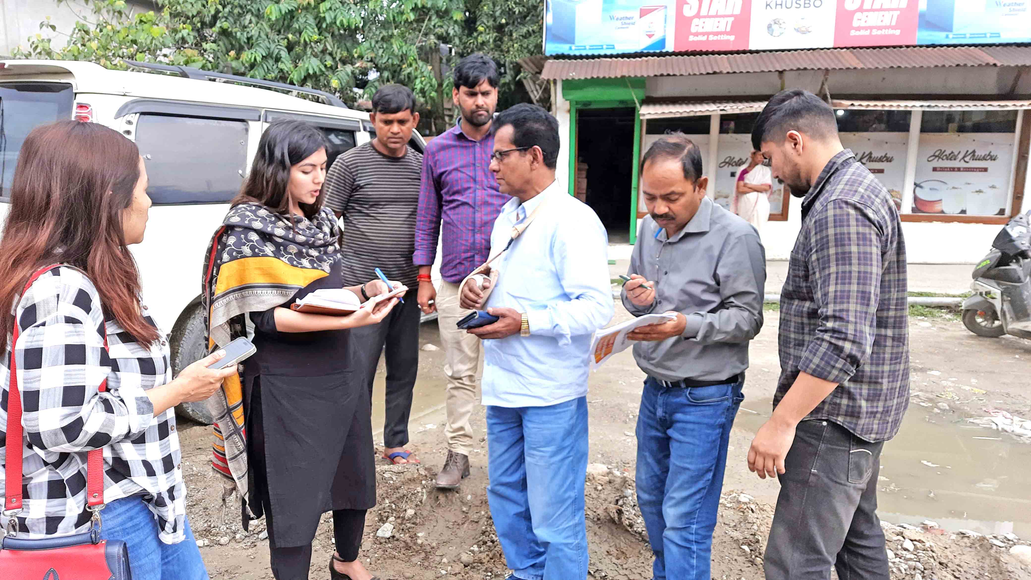
The National Team also conducted a one-day Interface with Interim Gram Panchayat Committee and some Gram Sabha Members under Chiputa Gram Panchayat of Papum Pare district on May 18 under the initiatives of APO (Tech), DRDA, Yupia Tarh Taming and EO (RE), C. D. Block Doimukh G. Ete. SIRD&PR Press Release

Kenter Joya Riba
(Managing Editor)She is a graduate in Science with post graduation in Sociology from University of Pune. She has been in the media industry for nearly a decade. Before turning to print business, she has been associated with radio and television.
Email: kenterjoyaz@easternsentinel.in / editoreasternsentinel@gmail.com
Phone: 0360-2212313

